
Take-off coordinates: 40.4035°N 7.4545°W
Altitude: 840m AMSL
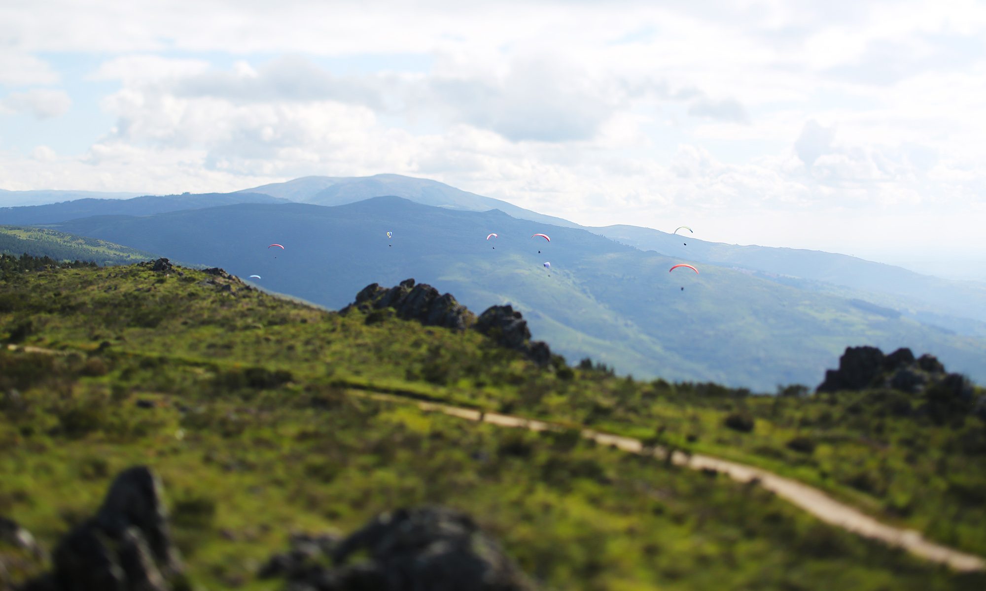
Height above valley: 300m
Size of take-off area: 2500m2
Access: 8km of Tarmac road from Head Quarters (4Km from official landing site) and 1,5Km of dirt road.
Average travel time: 10min.
Wind direction: East, North to Northwest (a round shape hill top allows a safe take-off with all these wind components).
Wind Flight conditions: Although with reduced height above valley a resident thermal in front of take-off is well suited for long distance flights even in the early morning hours.
Official landing site coordinates: 40.4037ºN 7.4427ºW
An ample field the valley by the river. Although ample and allowing for the approach to be done from virtually any direction, it has some tall trees delimiting the river. Attention is required to the electric cables that cross de valley.
Registered flights on XCPortugal from this take-off:
Registered flights on Leonardo Internantional, Paragliding Forum, from this take-off:
Flights registered on XContest from this take-off: